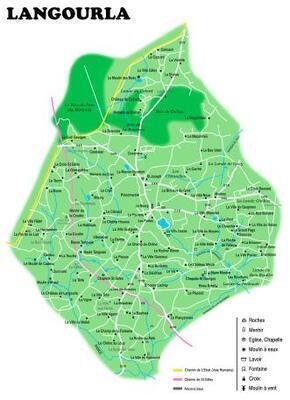
A few years ago I made this map of Langourla using Inkscape.
Notably it shows the old roman roads and an estimation of the chemin de St.Gilles from some of the documents found at the BNF.
A friend asked me for it last week, so I thought I'd post it here.
§